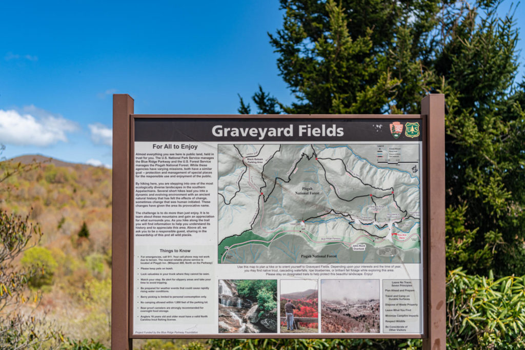
While staying at the Sourwood Inn, your hiking options are endless. The inn is located north of Asheville and just a few miles from the Blue Ridge Parkway. One of the more popular hiking trails in the area is Graveyard Fields, including beautiful waterfalls. Here you will find cooler summer temperatures and mountain breezes, various hiking trails, and mountain streams with waterfalls to picnic by. Below are all the details to make your day trip to Graveyard Fields a lifetime memory.
Where did this trail get it’s name
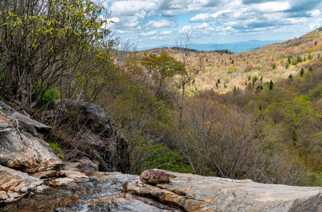
Everyone asks- what a crazy name, and precisely what does it mean? Graveyard Fields is technically the name of a flat mountain valley in the Blue Ridge Mountains south of Asheville. However, the valley is over 5,000 feet and surrounded by mountains exceeding 6,000 feet in elevation, including Black Balsam Knob, Tennent Mountain, and Sam Knob. These high peaks form the source of the Yellowstone Prong of the Pigeon River, which flows through Graveyard Fields valley.
The locals tell us that Graveyard Fields got its name when a tremendous wind storm blew through the area over 500 years ago and uprooted the beautiful Spruce trees growing on the mountainside. Over the years, the rotting trees left stumps in the area that resembled a graveyard. The forest recovered, only to be destroyed again by a devastating forest fire in 1925. This fire consumed the forest and deeply swallowed the soil’s nutrients. What you will experience today is a forest slowly recovering. As you walk through the field-like area, see if you get the feeling of a “Graveyard Field.”
About the Graveyard Fields Trails
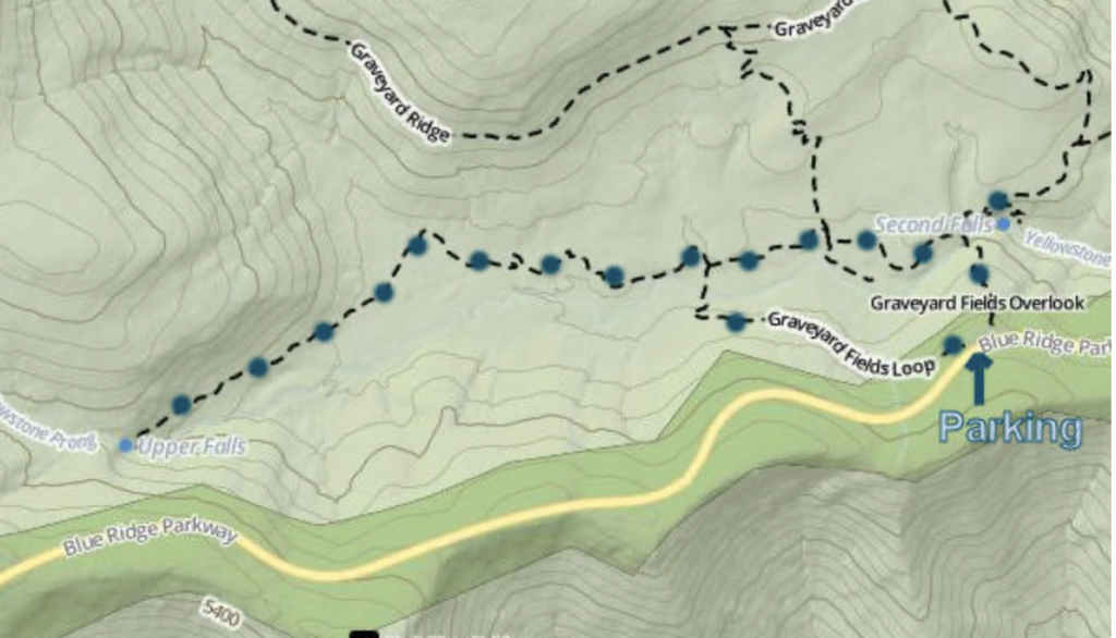
Depending on the distance you want to hike, the map shown above gives an excellent summary. Because of the constant impact of erosion on the hiking trails, The Graveyard Fields area trails underwent significant rerouting during the summer of 2005 and have been updated since then, but the erosion problem continues. Additional hiking is available on the Graveyard Ridge, which is less crowded.
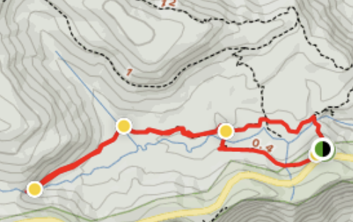
The map shown above shows the route we took, a total 2.9-mile loop. Generally considered a moderately challenging route, it takes an average of 1 h 11 min to complete. Once you reach the upper part of the trail to reach Upper Falls, which is basically a rock river bed, the hiking gets a little more challenging. This is a very popular area for fishing, hiking, and mountain biking, so you’ll likely encounter other people while exploring.
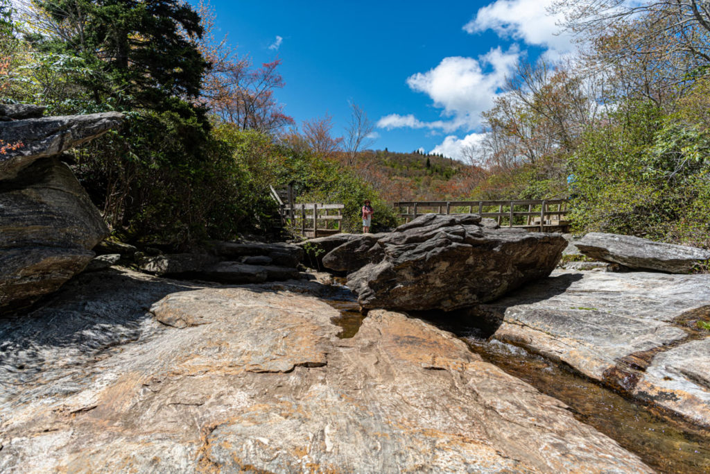
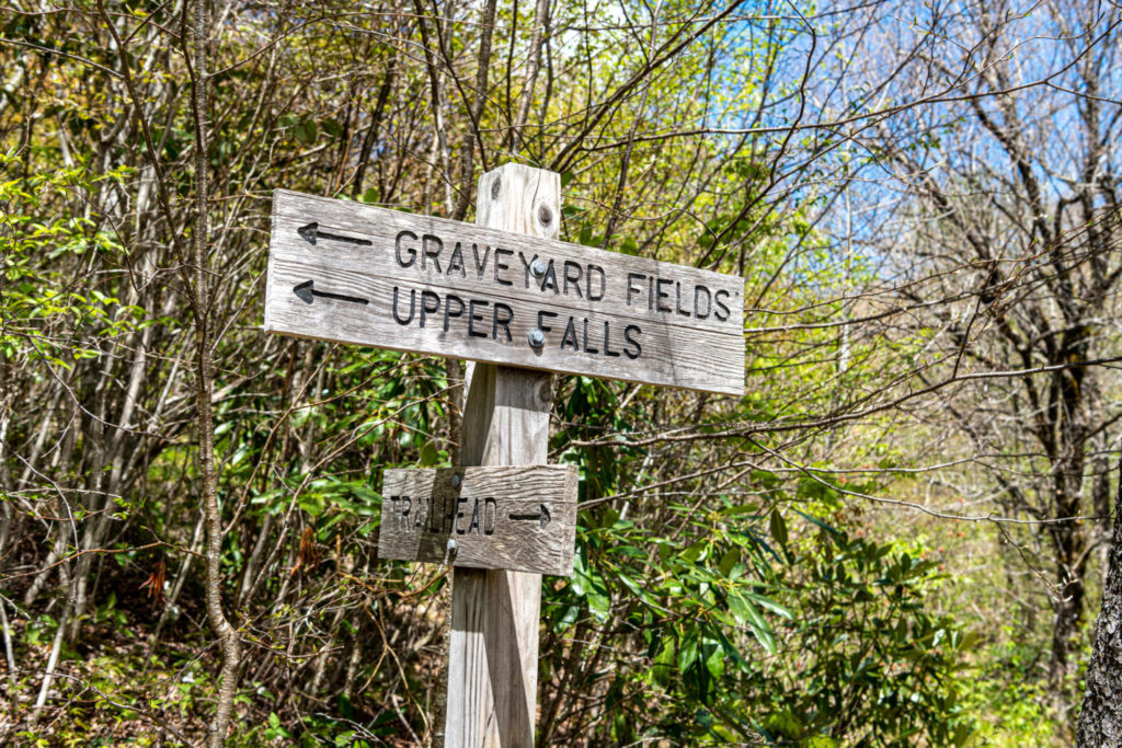
We followed the loop, visited the Second Falls (also called Lower Falls), and followed the Upper Falls signs on the Yellowstone Prong. After reaching the top of the falls, we picnicked and relaxed, and played in the water. Then, we backtracked on the Yellowstone Prong for the trip back and reconnected on the loop to get back to our car. The signage can be confusing. Read through this link for more details on the trailheads.
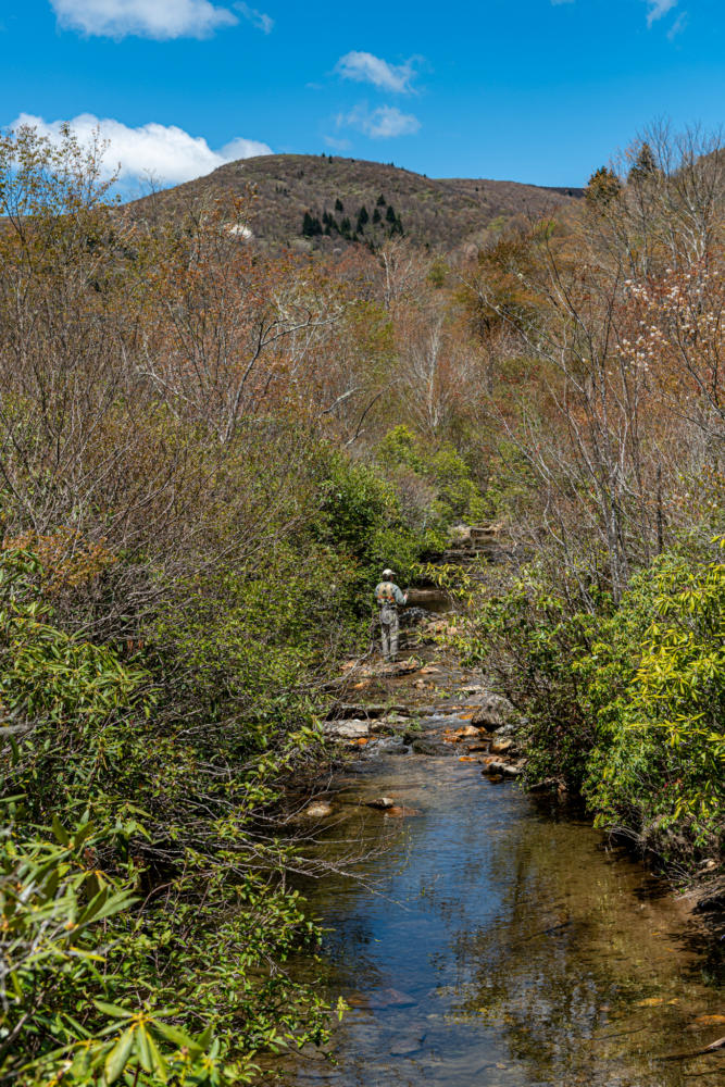
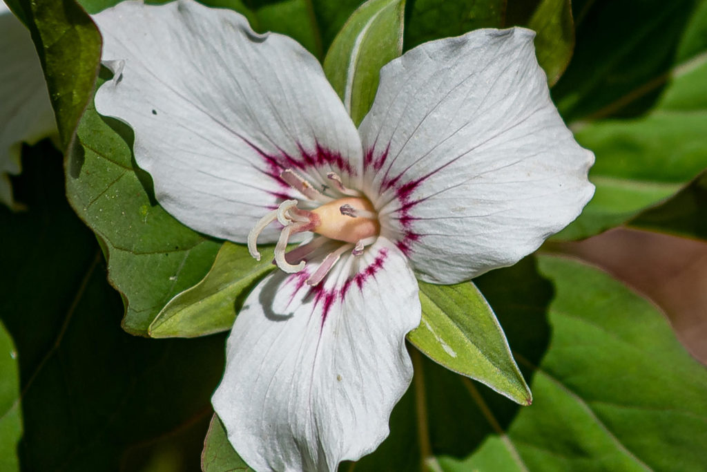
We love picnic lunches at the Sourwood Inn. You can always get a gourmet to-go sandwich from Well-Bred Bakery in Weaverville. There are plenty of grassy areas to spread your blanket or perhaps even creekside on some rocks. Kick-off your shoes and socks and splash around in Yellowstone Prong (the creek that bisects the loop trail) or go for a swim in the deep pool below Second Falls. If you come in the late Spring, you will enjoy the blooming of Rhododendrons, Mtn. Laurels, Flame Azaleas, and wildflowers.
Tips for visiting Graveyard Fields
- Bring good hiking shoes. Once you are on the riverbed part of the trail, good traction is helpful.
- This is Black Bear country. If you do see a bear do not approach and walk away slowly.
- During the summer blueberry season you’ll find many wild blueberry bushes along the way.
- Do not trust your GPS to reach the Graveyard Fields Loop Trail. Rather use the Blue Ridge Parkway marker of 418.8. This link provides great information of the hiking trails along the BlueRidge Parkway.
- Plan out your hiking route ahead of time- some of the signage is confusing
- On your way to the Upper Falls you will come to a stream and wonder if you should cross. Look closely for a little rock labeled “Upper Falls” with an arrow. It would be VERY easy to miss. You do cross the steam and proceed up on the riverbed rocks.
- Pack a picnic lunch. There are so many great places to stop and enjoy the beautiful views.
- As mentioned earlier Second Falls is also called Lower Falls on some signage.
- The parking lot does fill up on the weekends. Either go early or later in the afternoon during those busy times.
Come stay with us at the Sourwood Inn
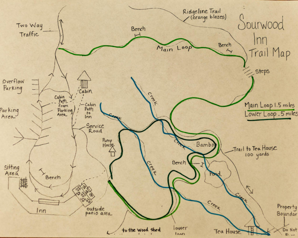
Many of our guests take advantage of our nature trail, which is just a few steps from the lodge. Along the trail, you will find a serenity pond, a horseshoe pit, sitting areas, and a quaint building we affectionately call the “Tea House” Come stay with us, be pampered in our luxurious mountain view rooms, soak in our spa tubs, enjoy our farm to table breakfasts and three-course dinners. You can check out all of our room choices and book your stay here.
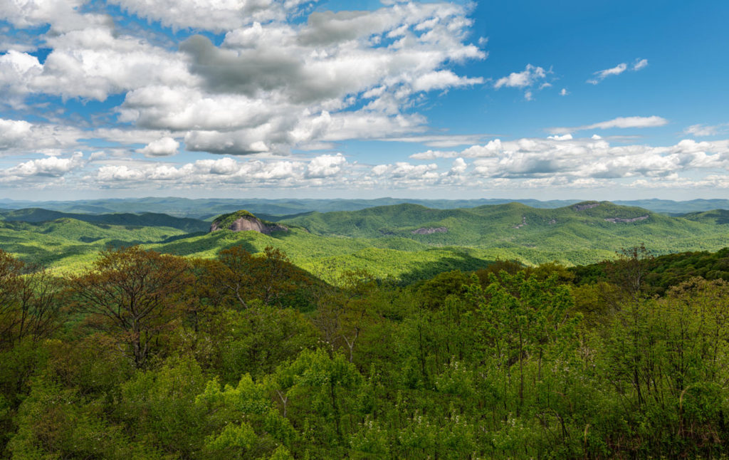
After your pampering at the Sourwood Inn, explore Asheville and the beautiful Blue Ridge Parkway. Stop along many of the viewing areas to witness the breathtaking vistas. Also, check out the many quaint towns in the area filled with galleries, artisan shops, and eateries-this previous blog highlights 12 of our favorites.
